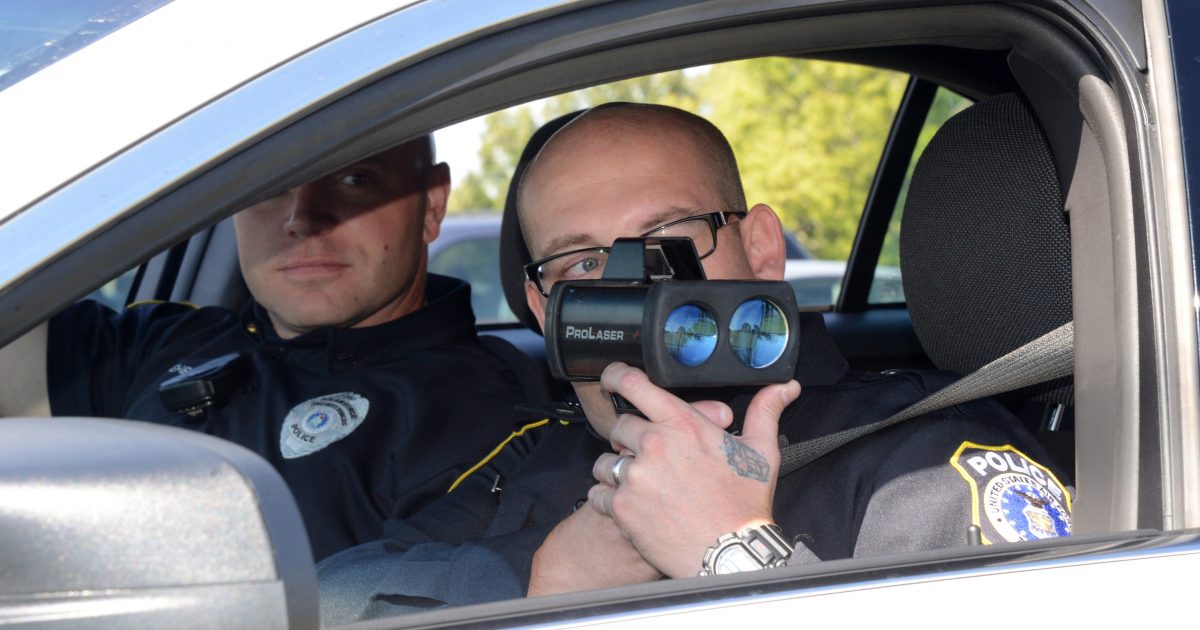
Law enforcement groups across the US are up in arms about a feature on Google Maps that is allowing people to see where speed traps are on the roads and then adjust their driving accordingly.
Sandra Tseng, who works as Product Manager of Google Maps, wrote a blog last week explaining that the reporting feature is being implemented on the app for all Android and iPhones from now on, which will create unprecedented transparency regarding police:
“Google Maps has always helped people get from point A to B in the easiest way possible. Today, we’re adding more tools that reflect real-time contributions from the community so you can stay even more informed when you’re behind the wheel. Here’s what’s changing:
First, we’re adding the ability for people to report crashes, speed traps and traffic slowdowns right from their iPhone. This feature has been one of our most popular on Android, and we’re excited to expand it to iOS.
Second, we’re introducing the ability to report four new types of incidents–construction, lane closures, disabled vehicles, and objects on the road (like debris)–so you can quickly know if you’ll encounter one of these potential obstructions on your ride, and plan accordingly. To report an incident, simply tap on the + sign and then on “Add a report.”
Both features start rolling out globally on Android and iOS this week. ”
The New York Police Department (NYPD) claims that the technology enables drunk drivers, as they believe it allows them to avoid routes where police are located while driving under the influence.
“Individuals who post the locations of DWI checkpoints may be engaging in criminal conduct since such actions could be intentional attempts to prevent and/or impair the administration of the DWI laws and other relevant criminal and traffic laws,” the NYPD wrote.
The NYPD also feels that the nascent technology will render their unconstitutional, invasive checkpoints null and void.
“The posting of such information for public consumption is irresponsible since it only serves to aid impaired and intoxicated drivers to evade checkpoints and encourage reckless driving. Revealing the location of checkpoints puts those drivers, their passengers, and the general public at risk,” they added.
The National Sheriffs’ Association (NSA) is even more triggered by the technology, claiming without presenting any evidence that it puts police officers’ lives at risk.
“NSA is supportive of the Google Waze App but is emphatically opposed to the police locator feature within the app,” the NSA said in a statement. “There is no moral, ethical or legal reason to have the police locator button on the app.”
Google is standing by their feature that is incredible popular with consumers who are sick of being hassled on the roads by revenue-starved police officers.
“Safety is a top priority when developing navigation features at Google,” a company spokesperson said to PCMag in February. “We believe that informing drivers about upcoming speed traps allows them to be more careful and make safer decisions when they’re on the road.”
As technology continues to advance, road piracy will become more difficult for state enforcers desperate to extract cash from a beleaguered citizenry.


